
1. Map and localization – field orientation
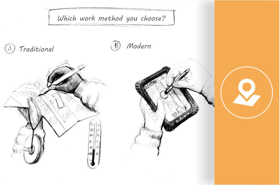
Using paper maps can be really arduous. Set scales make it impossible to zoom in or out, tracking is very tricky requiring you to switch between multiple charts and using large-format maps, and there is no way you can browse the Internet for some assistance. Mobile apps let you track your position in real time so you always know precisely where you are. What is more, you can choose a multiple map mode, enabling you to multitask easily and comfortably. Each map can be personalized and it can include data from the Internet (e.g. orthophotomap, geoportal, cadastral map etc.), vector data or aerial and satellite shots (raster). And what if you need to go online where there is no Internet access? You can simply store the map you need for later and open it in the offline mode. Useful, isn’t it? 2. Efficient stocktaking – accurate GPS surveying GPS receivers automatically calculate the location of the objects surveyed. Depending on the stocktaking process, we can mark point, line, or area objects and add descriptions in form of attribute tables to each of them. The table acts as an interactive form with a defined list of terms that you can freely attach multimedia files to. You can fully customize the design of your form, depending on the current task at hand. 3. Time saving – automatic digital surveying All the data you have downloaded (locations and descriptions) come in digital form, meaning they are immediately transferred via e-mail, Bluetooth, Dropbox (or by saving them manually to a device) to your computer. Afterwards, you can use them as geospatial Shapefile files or simply work only on attribute table descriptions. You do not have to waste your time on copying notes anymore! All the data is automatically transferred to your computer. 4. Easy teamwork A field task may sometimes involve more people. After surveying, it may be tricky to compile all the data. Agreeing on the data to be gathered in field, setting standards regarding the forms, not to mention the arduous copying… tMap elevates your teamwork to a completely new level. Each project created in the app is sent to all users. It has all the predefined maps and surveying layers, together with an interactive stocktaking form. This helps unify the surveying methods within the team. Once the work is over, all the data is merged into one common file. 5. Weather resistance Heat, freezing cold, or rain are not the most welcoming weather conditions. How can we work with our hands frozen to the bone and drenched maps and paper forms? GPS devices are designed specially to withstand various weather conditions. Reinforced casings, waterproof protective layers, extra accessories, such as a stylus (!) – they all help us work faster and more efficiently in tough weather conditions. Hey, listen! This article lists all the details you should pay attention to, while choosing your equipment! 6. Simple map-making Most stocktaking tasks end in creating a map of sorts. And to do it, it is best to use one of the GIS (Geographic Information System) programs. This software was designed to work with maps and it allows you to easily create or edit a map of your choice. This is why all the surveying data are exported from tMap in the ESRI Shapefile geospatial file format, so they can be directly read by GIS programs, such as QGIS or ArcGIS, and then transformed into a fully functioning and legible map… in an instant. If you prefer working in the CAD software, you can easily and fast export all the data to, e.g. AutoCad. Switching from a paper form to a GPS with a mobile app will help boost your efficacy. It will not only speed up your field work, but also automatically transfer all the data to your computer, thus greatly reducing your desk time. Check it out for yourself and try out the tMap app on your smartphone.
0 Comments
|
AutorTAXUS IT TEAM 
Karolina Jaśkiewicz
ArchiwaKategorie |
 RSS Feed
